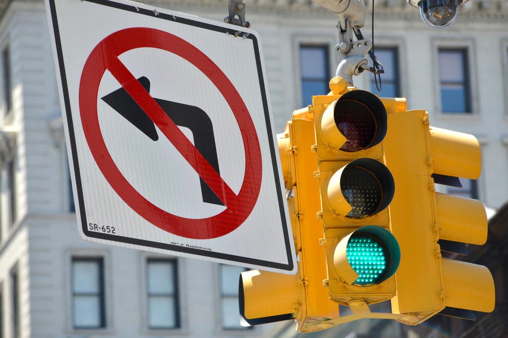
According to Vikash Gayah, associate professor of civil and environmental engineering at Penn State, banning certain left turns improves safety and traffic efficiency. His new model can be adapted on a city-by-city basis to identify where to place restrictions. IMAGE: ISTOCK/@RIVERNORTHPHOTOGRAPHY
Still waiting at an intersection? Banning certain left turns helps traffic flow
7/12/2021
Tim Schley
UNIVERSITY PARK, Pa. — When traffic is clogged at a downtown intersection, there may be a way to reduce some of the congestion: Eliminate a few left turns.
According to Vikash Gayah, associate professor of civil engineering at Penn State, well-placed left-turn restrictions in certain busy intersections could loosen many of the bottlenecks that hamper traffic efficiency. He recently created a new method that could help cities identify where to restrict these turns to improve overall traffic flow.
“We have all experienced that feeling of getting stuck waiting to make a left turn,” Gayah said. “And if you allow these turns to have their own green arrow, you have to stop all other vehicles, making the intersection less productive. Left turns are also where you find the most severe crashes, especially with pedestrians. Our idea is to get rid of these turns when we can to create safer and more efficient intersections.”
By selectively restricting left turns, but not banning them entirely, drivers may simply need to find alternate routes to their destinations in certain areas, Gayah said. Some may be required to travel a few extra blocks, but Gayah believes more efficient traffic flow through busy intersections offsets the additional distance.
For urban planners, he added, determining where to place the restrictions is a balancing act between intersection productivity and increased travel lengths. With so many restriction possibilities to consider, finding the most efficient layout may prove difficult.
“For example, if you just have 16 intersections to consider, each with a choice to allow or not allow left turns, that is already 65,000 different configurations,” Gayah said. “It gets even more complicated when you consider that traffic flows from one intersection to the next, so decisions depend on one another. There ends up being so many possible answers that we can never find the best one.”
Gayah’s new method relies on heuristic algorithms, which use shortcuts to find solutions that nearly approach, but are not guaranteed to be, an optimal outcome.
“We make a guess, we learn from that guess, and then we make better guesses,” he said. “Over time, we can get really, really close to the best answer.”
In a study published in Transportation Research Record, Gayah combined two existing heuristic algorithms to create a new hybrid approach. The first, a population-based incremental learning (PBIL) algorithm, randomly sampled potential configurations and recognized the patterns of high-performing options. Next, a Bayesian optimization algorithm analyzed this new set of high performers to identify how restrictions were affecting traffic at adjacent intersections. Bayesian optimization combines initial information about the problem and updates it over time as new information is learned to attain a solution which is close to, but not necessarily perfect. The algorithm then applied this knowledge of traffic dynamics to find more efficient solutions.
“Instead of starting the Bayesian optimization with a random guess, we fed it with the best guesses from the PBIL,” Gayah said. “The first method creates the starting point, and the second refines it.”

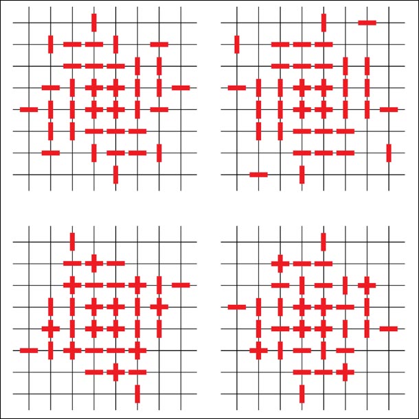
Gayah found that the most efficient configurations tended to restrict left turns in the middle of the grid network. IMAGE: URBAN TRANSPORTATION SYSTEMS GROUP
Gayah tested the hybrid method through a simulated, square network in a variety of scenarios, finding that all three methods — PBIL, Bayesian optimization and hybrid — identified configurations that led to more efficient traffic patterns than a layout with zero restrictions. However, in simulations with more realistic settings, the hybrid method proved to be the most effective.
According to Gayah, the most efficient configurations tended to ban left turns in the middle of the city and allowed them more often on the periphery. While the method was applied to a generalized network, the results can be used as a starting point for real-world traffic patterns with the algorithms being customizable on a city-by-city basis.
“The grid network is the most generalizable and not specific to any city,” Gayah said. “I cannot take the best configuration for New York and apply it to San Francisco, but this generalized approach could be configured for any network with a little bit of coding.”
Murat Bayrak, postdoctoral researcher in the Department of Civil Engineering at Aalto University, also contributed to the project.
A National Science Foundation CAREER award supported this research.


